The modern overlander enjoys technological advantages unimaginable to explorers of previous generations. While paper maps and compass skills remain essential backups, properly selected apps transform your smartphone or tablet into a powerful navigation and planning tool. Let’s explore the digital resources that enhance safety, accessibility, and enjoyment on your backcountry journeys.
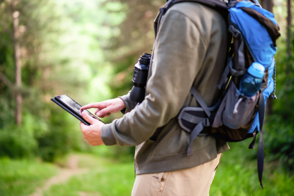
Navigation Apps: Finding Your Way
The foundation of any overlanding tech setup begins with reliable navigation apps capable of functioning without cellular service.
Gaia GPS stands as the preferred choice for many serious overlanders. Its strengths include:
- Downloadable topographic maps for offline use
- Multiple map layers including satellite imagery, public lands, and historic USGS maps
- Route recording and sharing capabilities
- Waypoint management with detailed attributes
- Tracking features for distance, elevation, and speed
The premium subscription unlocks additional map layers and enhanced features, well worth the annual cost for regular adventurers.
onX Offroad caters specifically to the overlanding community with features focused on vehicle-based exploration:
- Trail difficulty ratings relevant to drivers
- Land ownership boundaries and access information
- Points of interest including dispersed camping areas
- Recent trail status updates and closure information
- Community-contributed trail data and photos
For those crossing international borders, Maps.me offers comprehensive global coverage with:
- Detailed offline maps for virtually any country
- Simple, intuitive interface
- Minimal storage requirements compared to similar apps
- Free basic functionality adequate for many users
Combine multiple navigation apps for redundancy in remote areas. Each platform offers unique strengths that complement the others.
Campsite Finders: Perfect Places to Rest
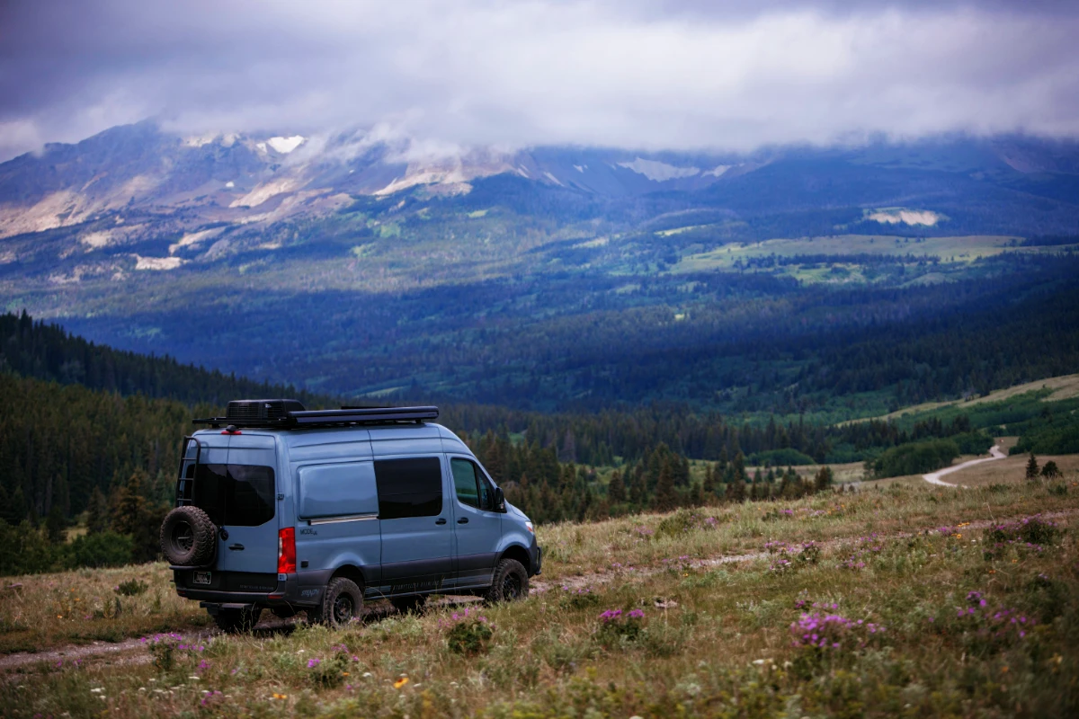
Finding legal, scenic camping spots remains one of overlanding’s regular challenges. These apps specifically address this need:
iOverlander has grown into a comprehensive database of user-reported campsites worldwide with:
- Detailed site descriptions and amenities
- Recent user reviews and condition updates
- Filter options for price, facilities, and accessibility
- Offline functionality for remote areas
- Additional points of interest including water sources and supply stops
The Dyrt excels at identifying established campgrounds with extensive details:
- Comprehensive campground database including photos
- Reservation links when applicable
- User reviews and recommendations
- Premium features include discount programs and offline access
Campendium focuses on free camping opportunities with:
- Specialized filters for dispersed camping on public lands
- Cell coverage information for each site
- Detailed access information for large vehicles
- User-submitted photos showing actual conditions
Save potential campsites as waypoints in your navigation app during pre-trip planning to streamline decision-making on the road.
Weather Tools: Predicting Conditions
Weather dramatically impacts overlanding experiences, especially in remote locations and mountainous terrain.
Weather Underground provides hyperlocal forecasts helpful for planning:
- Weather station networks beyond government sensors
- Detailed precipitation timing and intensity
- Historical weather data for trip planning
- Radar and satellite views for current conditions
Windy.com excels at visualizing weather systems with:
- Interactive wind, temperature, and precipitation maps
- Multiple forecast model comparisons
- Animation features showing weather movement
- Detailed elevation-based forecasts valuable in mountainous regions
For emergency awareness, NOAA Weather Alerts delivers critical information:
- Severe weather warnings pushed to your device
- Custom alert areas based on your location
- Battery-efficient background operation
Download weather forecasts before heading into areas without service, and develop the habit of checking updates whenever you regain signal.
Communication Enhancers: Staying Connected
While true disconnection offers powerful benefits, safety considerations make some level of communication capability important.
Garmin Earthmate pairs with inReach satellite communicators to enable:
- Two-way text messaging via satellite
- Location sharing and tracking
- Weather forecast requests
- SOS emergency functions
For group coordination, Backcountry Navigator allows:
- Shared waypoints and routes between devices
- Real-time location sharing when in range
- Custom map markers visible to all group members
- Track recording and sharing
Remember that no app replaces proper emergency equipment. Satellite communicators, ham radios, or PLBs (Personal Locator Beacons) provide more reliable emergency options than cell-dependent applications.
Trip Planning Tools: Preparing Your Journey
Effective preparation begins long before wheels hit dirt. These tools enhance your planning process:
CalTopo offers powerful capabilities for desktop route planning:
- Multiple specialized map layers
- Advanced measurement and analysis tools
- Shareable maps and routes
- Printable custom maps as physical backups
Google Earth remains valuable for virtual route scouting:
- 3D terrain visualization
- Historical imagery showing seasonal conditions
- Street-view integration where available
- Custom route creation and elevation profiles
Overland Bound Route Planner specifically addresses vehicle-based adventure needs:
- Community-sourced routes and waypoints
- Trail difficulty ratings and vehicle recommendations
- Integrated trip planning tools and checklists
- Social features for group coordination
Utility Apps: Practical Problem Solvers
These specialized tools address specific overlanding needs:
Avenza Maps enables use of custom maps from any source:
- Georeferenced PDF import capability
- Location tracking on any imported map
- Waypoint and track creation
- Works completely offline once maps are loaded
SpotWx provides hyperlocal weather forecasts for remote locations:
- Point-specific forecasts for exact coordinates
- Multiple forecast model comparisons
- Detailed charts showing hourly predictions
- Downloadable forecasts for offline reference
Trailforks, though designed for mountain biking, offers valuable trail data:
- Extensive backcountry trail database
- Condition reports and closures
- Downloadable regional maps
- Elevation profiles and difficulty ratings
Digital Responsibility
As you incorporate these technologies, remember:
- Battery management becomes critical (carry power banks and vehicle chargers)
- Apps supplement but don’t replace physical maps and navigation skills
- Technology failures occur—always have backup systems
- Regular updates before trips ensure current data and functionality
The most effective approach combines traditional skills with digital advantages. Use technology to enhance your overlanding experience while maintaining the skills to complete your journey should electronics fail.
Ultimately, the best app ecosystem revolves around your specific travel style and regions. Experiment with different options on shorter trips before committing to a system for extended journeys. The right digital toolkit balances comprehensive information with intuitive interfaces that require minimal attention—allowing you to focus on the spectacular landscapes rather than your screen.

